DIFFERENCES IN THE DALES
I was never very good at the sciences when I was at school, except for geography. Perhaps it’s because geography is so visual and because I lived in the Yorkshire Dales – I knew exactly what limestone pavements looked like as I’d walked on them!
Maps made sense to me too – all that measuring of distance and pictorial stuff – I found them quite straightforward. Perhaps I just had great geography teachers.
But my QUEST to paint all the named Dales of the YDNP (Yorkshire Dales National Park) created more questions than geography could answer alone. I have recently surprised myself by overcoming a long-held fear of other sciences, adding books on geology to my reading list. What fascinating stories they uncover! Together, these subjects answer many of my ‘whys’.

WHY is this valley bottom so flat? WHY is that moor top rounded and that one horizontal? WHY are those slopes so diagonal?
My QUEST requires me to consider each Dale and observe it intimately – in what way is it similar to its neighbour? In what way is it different? Digging deeper into my old and new textbooks is a way of understanding better.
Two of Wharfedale’s tributaries are a great example….

Langstrothdale and Littondale both flow into Wharfedale from the west.
Littondale and Langstrothdale are separated by just one lovely shoulder of moor.
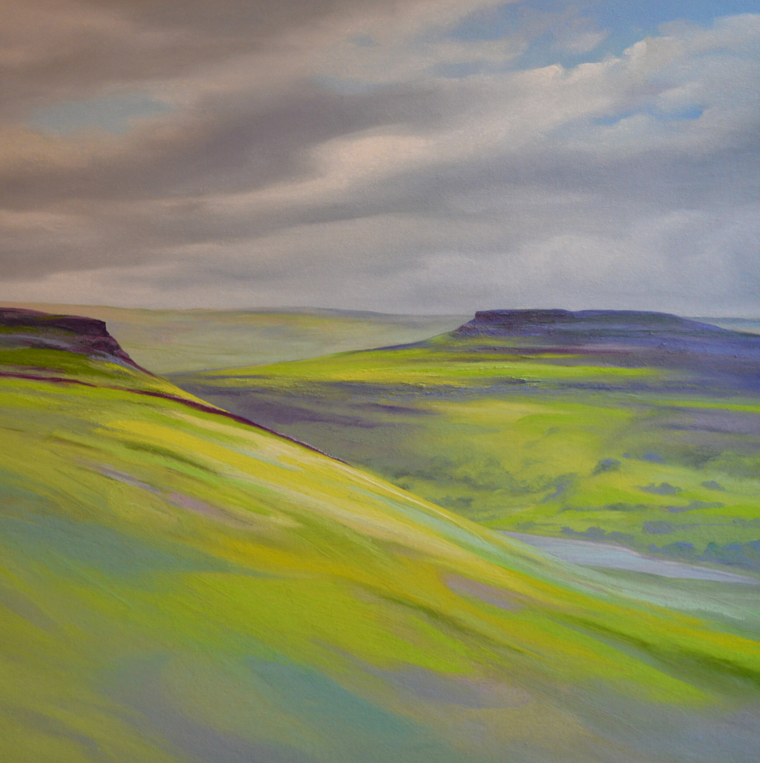
Each flow from the north-west roughly south-eastwards into Wharfedale. At the top of Littondale the walk over into Langstrothdale is only 3km. (Albeit up a very big ascent and back down a very large descent!)
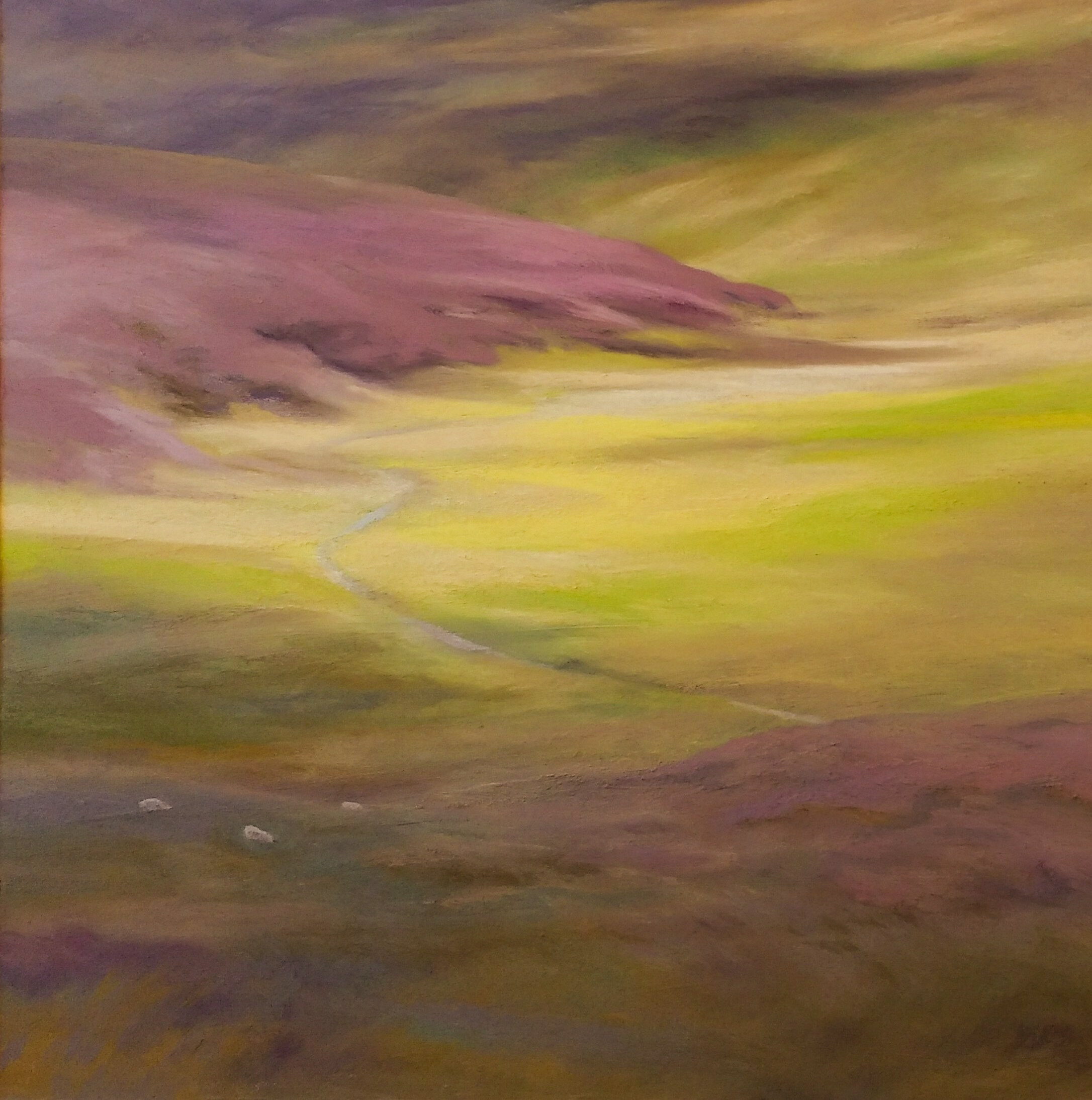
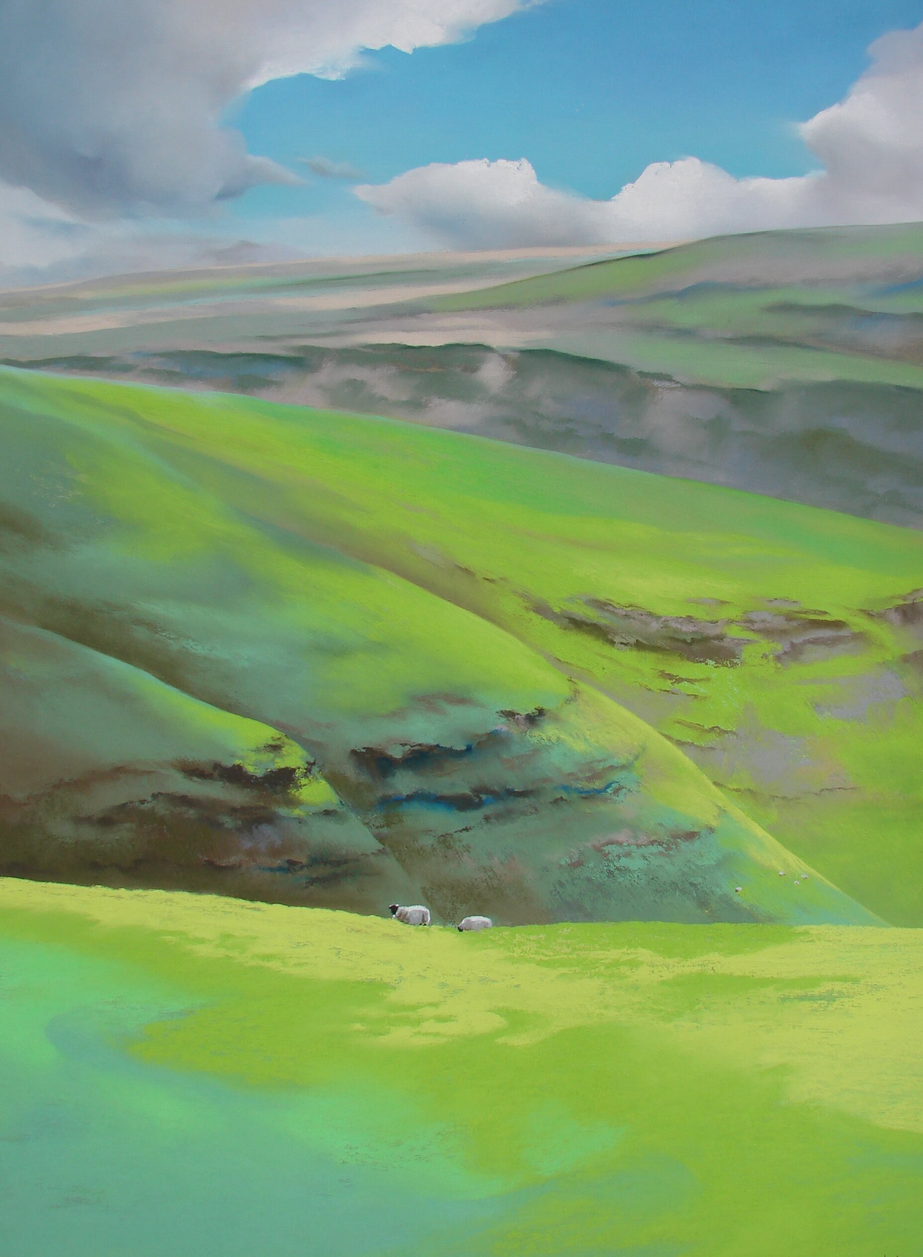
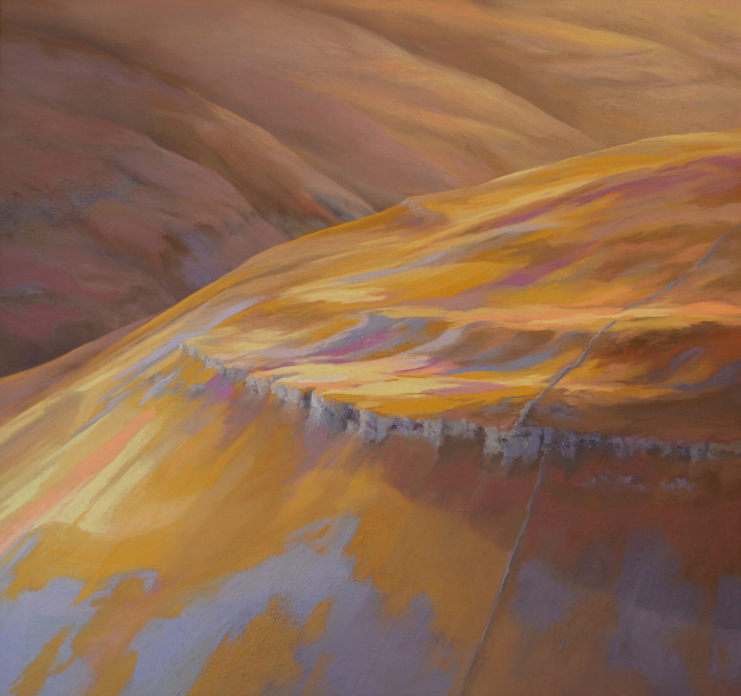
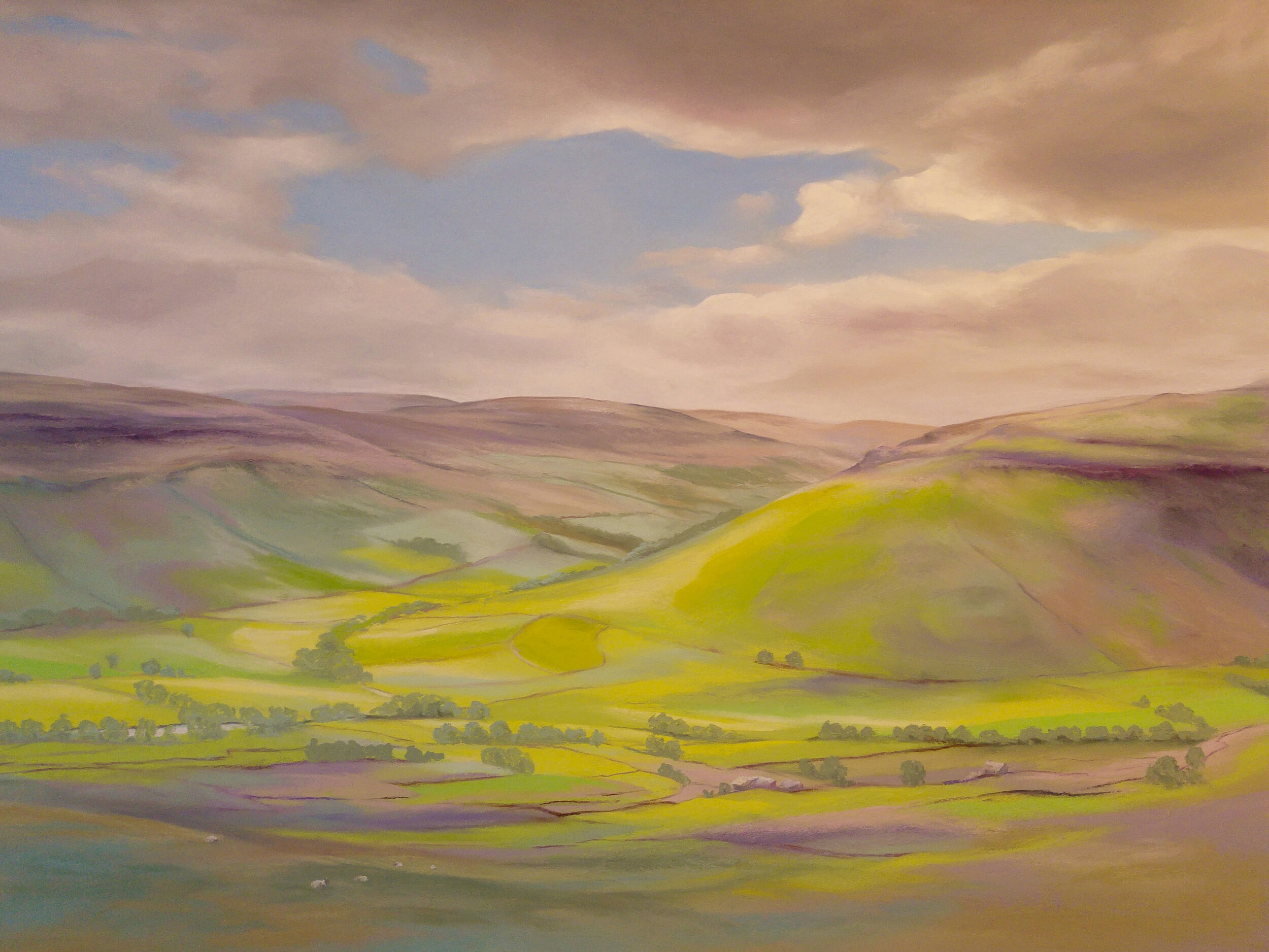
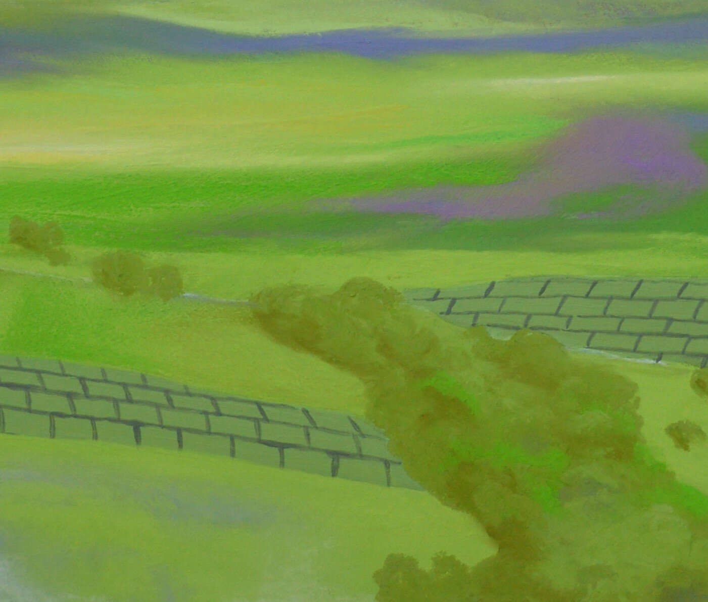
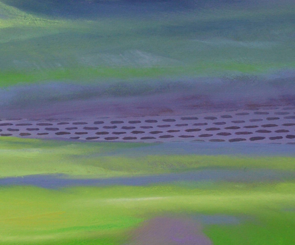
Upper Littondale has fabulously steep diagonal sides with impressive limestone escarpments and scree, as shown in A LITTLE BIT OF LITTONDALE, pictured below. But take the Dale as a whole, and it mainly has a wide flat base where the River Skirfare lazily meanders. This classic ‘U’-shape was created in the ice-age melts, when the glaciers gouged out the space. As it joins Upper Wharfedale, which is also ‘U’-shaped, the contours of the two Dales converge and dance together fluidly: as depicted in MEET AND GREET below.
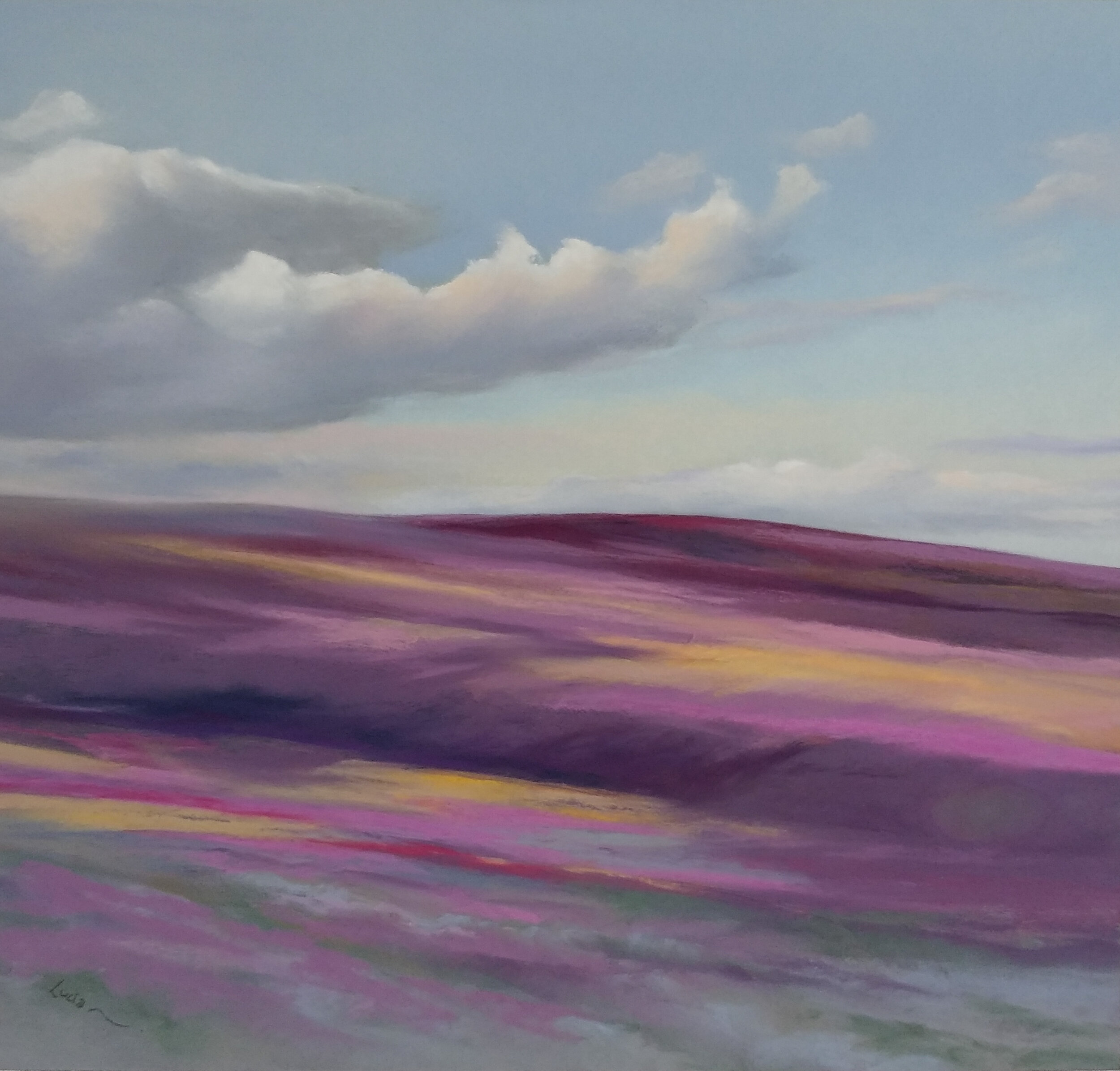
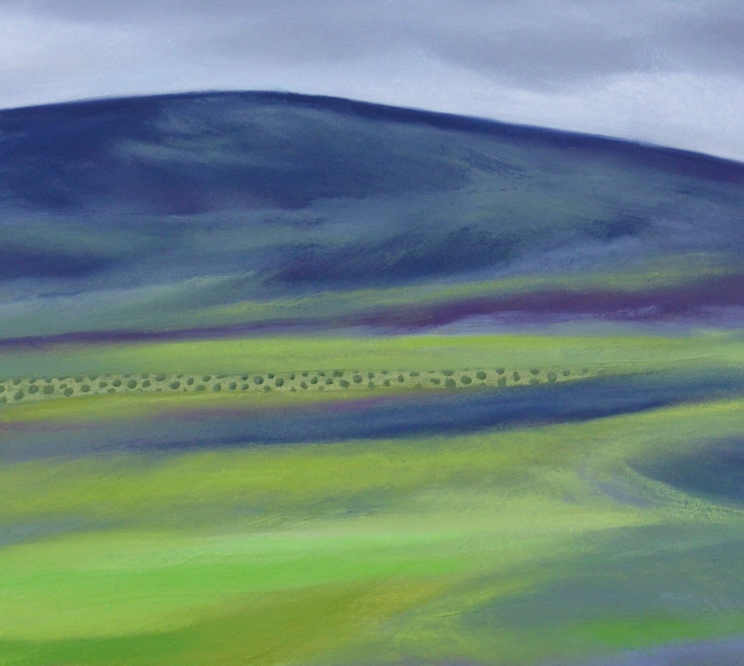
But over the hill in Langstrothdale, the young River Wharfe flows along a very different valley. Here the sides form the classic ‘V’ shape of an upper valley. My composition is from above (and looking southwards) – but the different ‘V’ shape is clearly visible as Langstrothdale flows down towards Wharfedale in the left of my painting: WHATEVER THE WEATHER.
My understanding is that the steeper gradient of the upper valley forms this steeper shape. But I am also puzzled: like neighbouring Littondale, Langstrothdale would have also contained a glacier in the ice age. Perhaps the smaller glacier in the smaller valley had less power to gouge out the valley sides? Or is it because of different characteristics in the underlying rock?

Gradually I uncover more of the ancient geographical and geological stories. I share my fascination by peeling back the layers in a painting of nearby Buckden Pike – the pastel colour makes way for the lithological symbols, depicting (hopefully accurately!) the underlying Yoredale rock layers of mudstones, limestones and siltstones in YOREDALE UNCOVERED.
What a lot to learn.,,,,, What a lot to uncover!